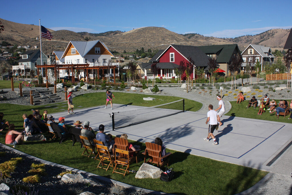
The Lookout
The site was thoughtfully planned to achieve its goal of walkability and community by implementing an interconnected grid of pedestrian green streets and vehicle queuing streets.
The site was thoughtfully planned to achieve its goal of walkability and community by implementing an interconnected grid of pedestrian green streets and vehicle queuing streets.
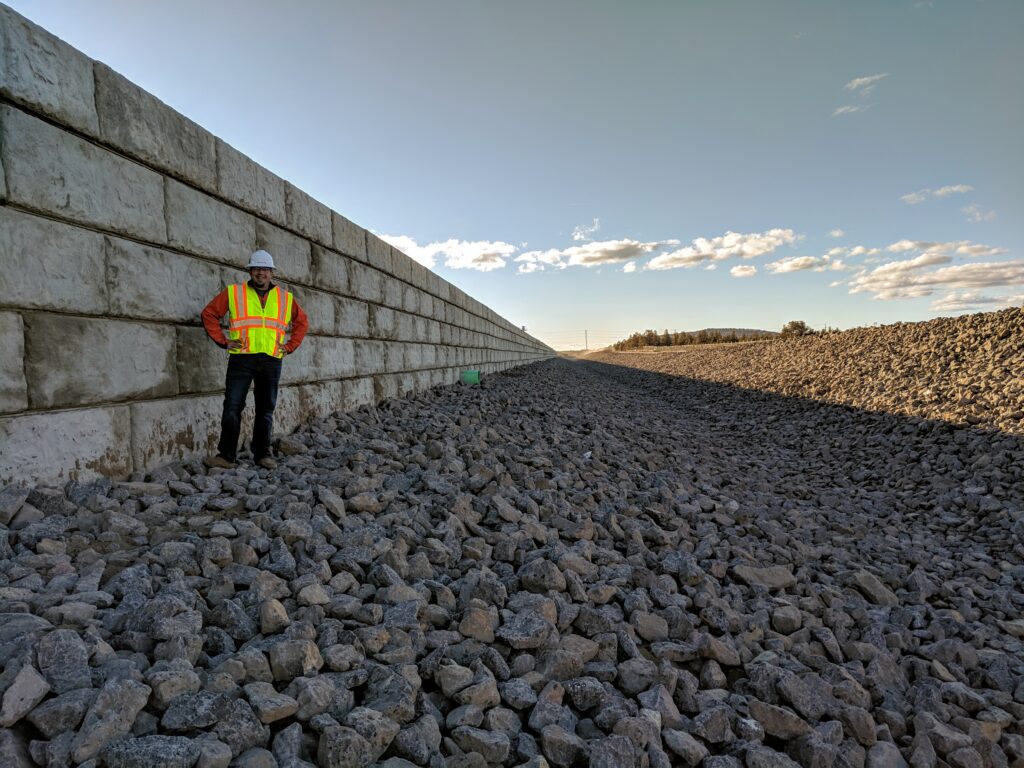
Parametrix has provided full technical due diligence services for more than 15 sites for this confidential client. In addition to self-performing many aspects of the work, we managed 3 to 5 subconsultants on each project.
Parametrix developed a comprehensive active transportation network for the city with a variety of facility types, from shared roadways to multi-use pathways.
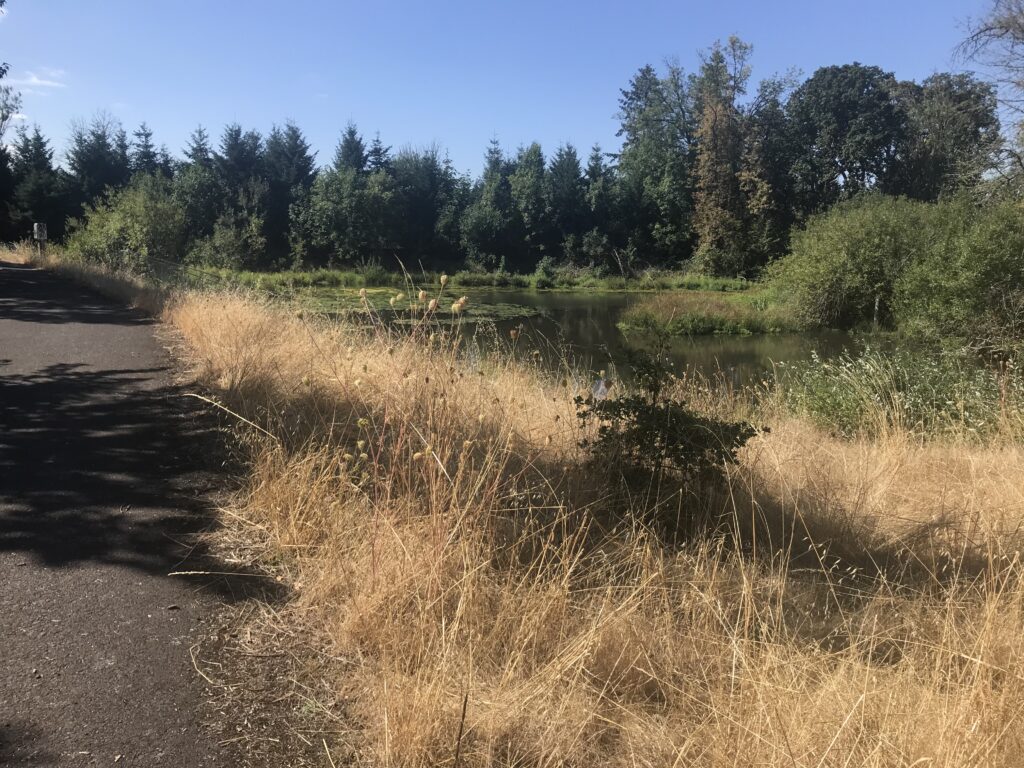
As of 2021, Parametrix has completed all five segment plans for the Salmonberry Trail, resulting in a comprehensive base conditions analysis, proposed trail alignment, and implementation plan.
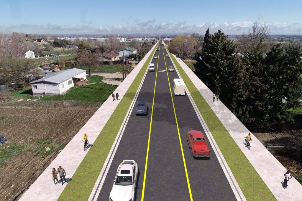
Parametrix is working with the highway district and city to prepare concept-level designs, including typical sections, lane configurations, alignments, right-of-way requirements, concept-level construction cost estimates, and develop an implementation plan aim at identifying construction priority.
The Three Creeks stormwater facility is a large, regional complex of wetlands, uplands, and open space areas that provide flood water detention at the confluence of Mount Scott, Phillips, and Dean Creeks. The key project objective was to improve water quality by optimizing over-bank flood storage in the floodplain, reducing peak flow at the facility, and enhancing riparian and wetland habitat.
As part of safety and mobility improvements on SR 305 from Poulsbo to Winslow Way, Parametrix designed three fish barrier removal projects on the corridor at Sam Snyder Creek, Klebeal Creek, and Murden Creek. The projects are near intersection safety improvements in the SR 305 corridor between Bainbridge Island and the City of Poulsbo.
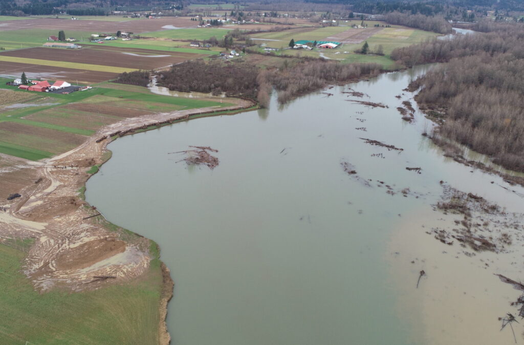
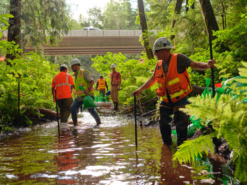
This emergency project was necessary to slow very rapid erosion of the River Right Bank of the Lower Satsop River, which was destroying high-quality farmland and threatening a home. While a long-term program of erosion and habitat improvements is underway on the Lower Satsop, an immediate solution was needed prior to the 2021/2022 flood season.
Washington State Department of Transportation (WSDOT) needed to remove state-owned culverts that block habitat for salmon and steelhead by 2030. The new culverts are larger and more resilient to changes in the landscape. Removing a single barrier can improve fish access for miles.
The Washington State Department of Transportation (WSDOT) completed a corridor planning study of I-5 between SR 121 in Tumwater and Mounts Road near DuPont to develop mid- and long-term strategies for improving the region’s transportation system. Strategies identified during the corridor study were further refined in the Planning and Environmental Linkages (PEL) study led by …
